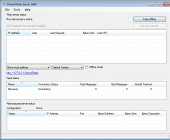
Virtual Radar is an open-source application that can plot aircraft on Google Maps. The program can be installed on a local web server; you can access its features using a web browser. Virtual Radar also has the ability to show the location of a simulated aircraft being flown in Microsoft Flight Simulator X. To track real aircafts, you need a radio that is capable of receiving Mode-S transmissions.
Comments